

Published on: 11/26/2025

Description
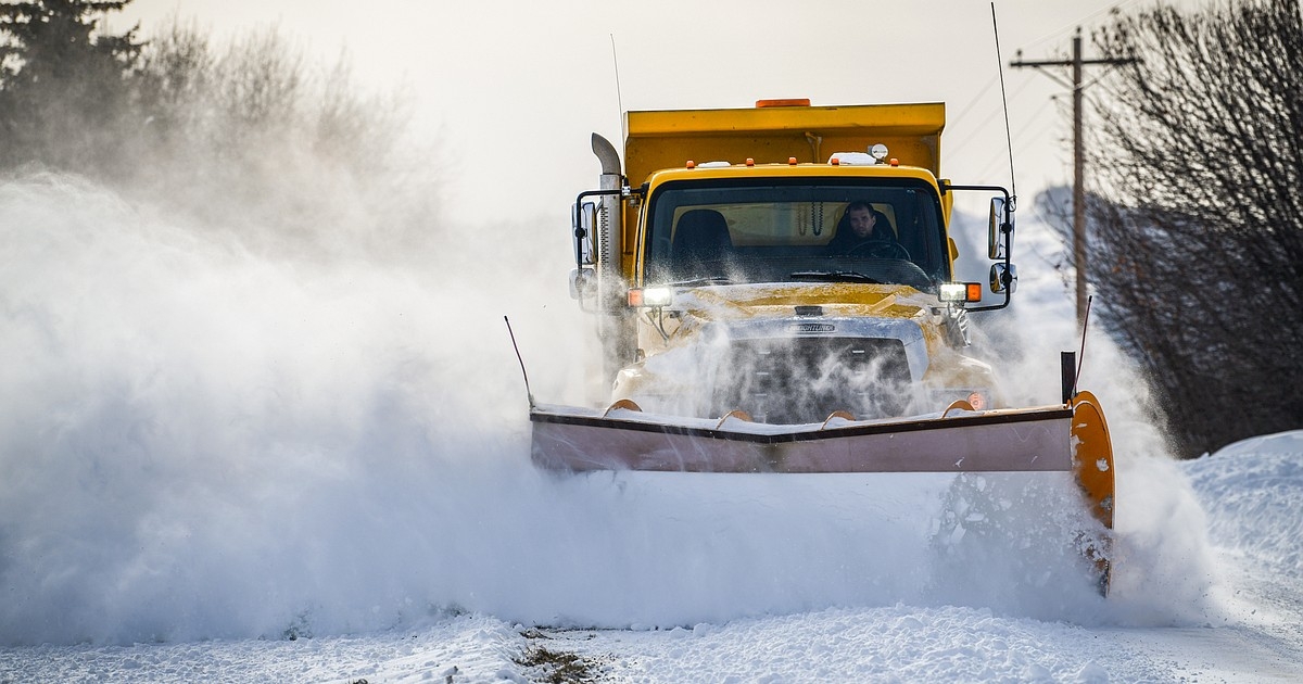
The busiest travel weekend of the year could be treacherous as a major Arctic intrusion bears down on Northwest Montana beginning Thanksgiving night.
Light snow Thursday morning is expected to give way to quickly plummeting temperatures and a blast of intense snow as a dynamic winter storm sweeps across the Continental Divide.
Marias Pass on U.S. 2 south of Glacier National Park will get hit first early Thanksgiving evening, while Bad Rock Canyon and the Flathead Valley will start to see impacts around midnight.
Temperatures will fall by 15 degrees in a short period of time, and a burst of snow will develop as the front passes through. Flash freezing is possible as wet roads transition to ice and snow, the National Weather Service warned in its Wednesday forecast.
Up to a foot of snow is possible on Marias Pass, with 3 to 6 inches on Lookout, Lolo, Homestake and MacDonald passes. Valley locations will generally see 1 to 4 inches of snow.
Wind gusts of 40 mph are possible in wind-prone canyon areas.
The snow will taper off by Friday morning, allowing the Arctic air to settle in. Lows in the single digits are likely Friday and Saturday nights for the Flathead Valley.
News Source : https://dailyinterlake.com/news/2025/nov/26/arctic-front-to-deliver-blast-of-snow-thanksgiving-night/
Other Related News
11/26/2025
WASHINGTON AP The National Park Service said Tuesday it is going to start charging the m...

11/26/2025
7-year-old Stella Bjorkman loves to draw Though she usually prefers to sketch something o...
11/26/2025
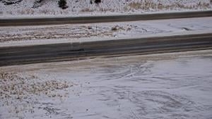
HELENA Mont I-15 between Boulder and Montana City is facing severe driving conditions acc...

11/26/2025
HELENA Mont - The Lewis Clark County Sheriffs Office shared a missing persons alert for a...
11/26/2025
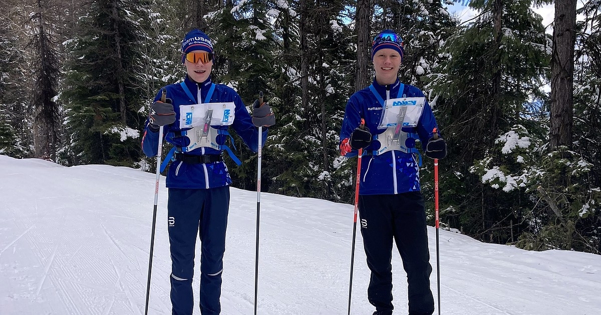
Brothers Liam 17 and Euell Browne16 from Columbia Falls qualified for the US Ski Orientee...
Follow

Download Our App


Copyright 2023 © Meet Montana. All Rights Reserved