

Published on: 12/09/2025

Description
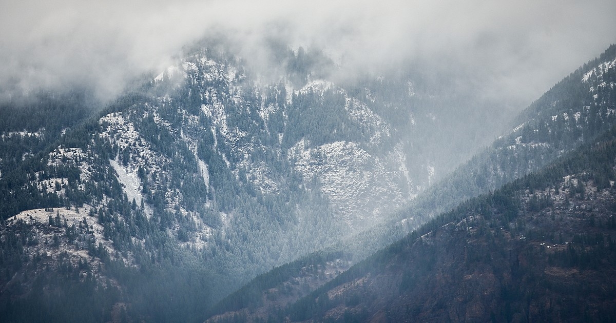
A flood watch was issued Monday for Flathead, Lake and Lincoln counties as potentially record rainfall drenches the Pacific Northwest this week.
The flood watch is in place through Thursday afternoon as rain and snowmelt threaten to raise creeks, with urban flooding likely in areas with poor drainage.
“The amount of moisture carried by this system is forecast to be near all-time maximums for early December, essentially directing a firehose of warm, subtropical air into western Montana and north central Idaho,” the National Weather Service in Missoula warned in its Monday forecast.
The prolonged atmospheric river is expected to deliver between 4 and 10 inches of precipitation in the mountains, with 1 to 4 inches in the valleys.
Snow levels rise above 6,000 feet on Tuesday before a temporary drop to 3,000 feet Tuesday night. By Wednesday, snow will be limited to mountain peaks over 6,000 feet, setting up a dangerous rain-on-snow situation in the mountains.
“The warm nature of this system will likely melt existing low- to mid-elevation snowpack, combining runoff with rainfall to rapidly swell creeks, streams and rivers. Residents in steep terrain and near waterways should prepare for significant rises and potential flooding, as the unusual duration and intensity of this event will stress river basins far beyond typical winter norms,” the Weather Service warned.
The Flathead Avalanche Center raised its avalanche rating to considerable Monday and advised that backcountry travel will become tricky in the week ahead.
"If you want to get a feel for conditions in the mountains over the next few days with minimal effort, ride through an automated carwash in a convertible with the top down," Flathead Avalanche Center Director Blase Reardon wrote in the Monday advisory. "You'll get the waves of moisture and the warm wind forecast through the week at mid elevations."
Gusty winds up to 45 mph could impact the Flathead and Mission valleys as the storm hits. Localized power outages are possible.
High temperatures will be in the mid 40s for the Flathead Valley through Friday. Rain and snow remain in the forecast into the weekend.
News Source : https://dailyinterlake.com/news/2025/dec/08/rare-december-flood-watch-issued-for-northwest-montana/
Other Related News

12/08/2025
Kalispell Police officers turned a Spanish-speaking motorist involved in a crash over to ...
12/08/2025
Join Daily Inter Lake reporter Taylor Inman as she goes over the weeks biggest headlin...

12/08/2025
MISSOULA If life is a game one online student with the University of Montana has discove...


12/08/2025
When Bill Moseley worked for the Oregon Department of Justice he quickly learned how inef...
Follow

Download Our App


Copyright 2023 © Meet Montana. All Rights Reserved